UN
37 Downland Way
£ 45,000
Description
We don't have a Description for this property.
- Bedrooms
- 3
- Bathrooms
- 0
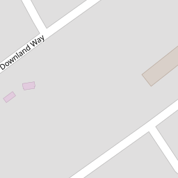
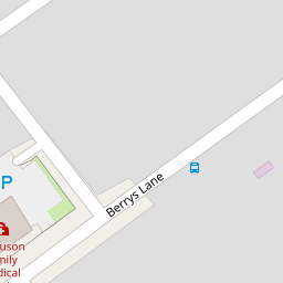
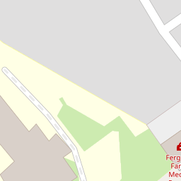

Leaflet © OpenStreetMap contributors
The heatmap indicates the level of crime in the area. The color of the heatmap indicates the crime severity and recency.
Metrics Year-on-Year
- Average area value
- 160,000.00 £Increased by 38.66 %
- Average area rental value
- 858.00 £/moIncreased by 11.86 %
- Est rental Yield
- 6.43 %Decreased by 19.42 %
- Crime Rate
- 10.00 %Unchanged by 0.00 %
from 115,394.00 £
from 767.00 £/mo
from 7.98 %
from 10.00 %
Nearby Schools
| Name | Type | Ofsted | Distance |
|---|---|---|---|
| St Cuthbert'S Catholic High School | Voluntary Aided School | Good | 0.40 KM |
| Parr Children'S Centre | Children's Centre | 0.70 KM | |
| Lansbury Bridge School | Community Special School | Good | 0.75 KM |
| Pace | Pupil Referral Unit | Good | 0.84 KM |
| Mill Green School | Community Special School | Outstanding | 0.88 KM |
Images
Nearby Streets
| Name | Average Price | Average Sqft | Distance |
|---|---|---|---|
| Stretton Avenue | £ 0 | 0 | 0.00 KM |
| Cecil Street | £ 125,000 | 0 | 0.00 KM |
| Brunswick Street | £ 0 | 0 | 0.00 KM |
| Delta Road | £ 0 | 0 | 0.00 KM |
| Moorfoot Road | £ 170,000 | 0 | 0.00 KM |
Nearby Transport
| Name | NLC | TLC | Distance |
|---|---|---|---|
| St Helens Junction | 2340 | SHJ | 1.28 KM |
| Lea Green | 2339 | LEG | 3.66 KM |
| St Helens Central | 2341 | SNH | 3.76 KM |
| Garswood | 2335 | GSW | 5.60 KM |
| Earlestown | 2292 | ERL | 6.64 KM |
Nearby Listings
| Address | Price | Type | Score | Distance |
|---|---|---|---|---|
| Berrys Lane, St. Helens, WA9 | £ 55,000 | BUY | 5 / 10 | 0.03 KM |
| Berrys Lane, St. Helens, Merseyside, WA9 | £ 75,000 | BUY | 4 / 10 | 0.05 KM |
| Berrys Lane, Parr, St Helens, WA9 | £ 130,000 | BUY | 6 / 10 | 0.08 KM |
| Firthland Way, St. Helens, Merseyside | £ 150,000 | BUY | 7 / 10 | 0.11 KM |
| Waterland Lane, St Helens, WA9 | £ 92,000 | BUY | 5 / 10 | 0.21 KM |
Nearby Properties
| Address | Price | Distance |
|---|---|---|
| 53 Downland Way | £ 15,000 | 0.00 KM |
| 51 Downland Way | £ 50,780 | 0.00 KM |
| 26 Downland Way | £ 45,000 | 0.00 KM |
| 28 Downland Way | £ 11,000 | 0.00 KM |
| 37 Downland Way | £ 45,000 | 0.00 KM |